Dubbed the best natural port of East Asia, the Manila Bay has been the country’s center of socio-economic development even before pre-Hispanic times. Apart from its more popular associations with industrial, commercial, and tourism activities, sources also describe Manila Bay responsible for more than half of the country’s GDP, accounting for about one-third its agriculture, fisheries, and forestry production. However, serving these functions for generations has consequently placed the bay’s sustainability under threat. Hence, efforts to conserve it and its linked environments are being pushed.
An estuary to various significant bodies of water and ecosystems, rehabilitating the Manila Bay entails a multi-tiered, cross-sectoral approach. Thus, the implementation of the IM4ManilaBay Program, or the Integrated Mapping, Monitoring, Modeling, and Management System for Manila Bay and Linked Environments—currently the government’s most prominent rehabilitation effort.
Lodged within the IM4ManilaBay Program are four component projects intended to accelerate results—(1) Project IWASTO which encourages proper solid waste management activities and technologies; (2) MapABLE which promotes the utilization of a mobile application that monitors environmental concerns affecting Manila Bay and its watershed system; (3) CharTeD DreaM which develops technology-assisted management strategies for the utilization of dredge materials from the Tullahan-Tinajeros river systems; and (4) Project eSMART (on watershed hydrology and hydrodynamics).
Project eSMART
The Eco-System Modeling and Material Transport Analysis for the Rehabilitation of Manila Bay (eSMART) seeks to streamline solutions for the Bay’s restoration by conducting mathematical analysis and numerical modeling of ecosystems and material flows along the integrated Manila Bay-Pasig River-Laguna Lake and surrounding watersheds system. Leading this is the University of the Philippines-Institute of Civil Engineering (UP-ICE), through its National Hydraulic Research Center (NHRC).
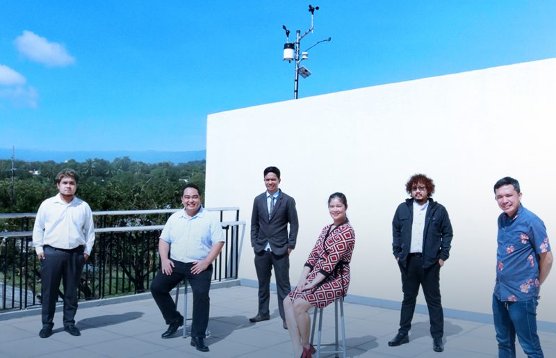
Part of this two-year project is the installation of weather stations in strategic locations within the Manila bay watershed area. The FAITH Colleges campus has been identified as one such strategic area.
Thus, a partnership was immediately forged between FAITH Colleges and UP-ICE, through the NHRC. Last 21 December 2020, a team from the UP National Engineering Center headed by Dr. Eugene Herrera deployed the weather station inside the FAITH campus.
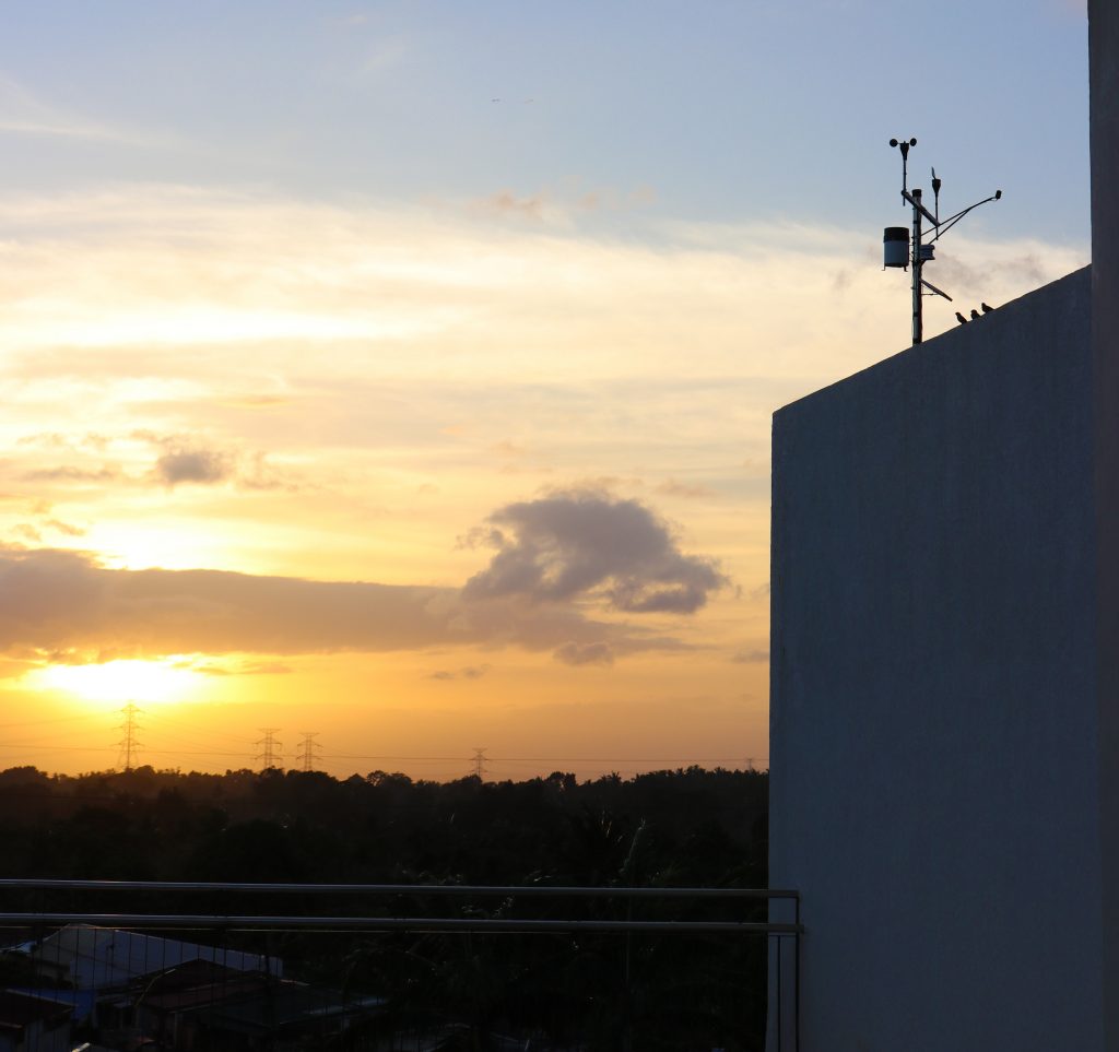
The weather station collects meteorologic data such as rainfall, wind speed and direction, relative humidity, solar radiation, and temperature.
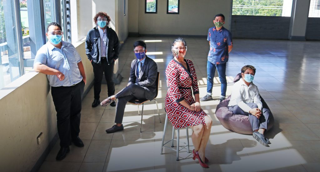
For 12 months, the UP team and faculty members from FAITH’s College of Engineering and College of Computing and IT will maintain the weather station, as well as collect and process data.
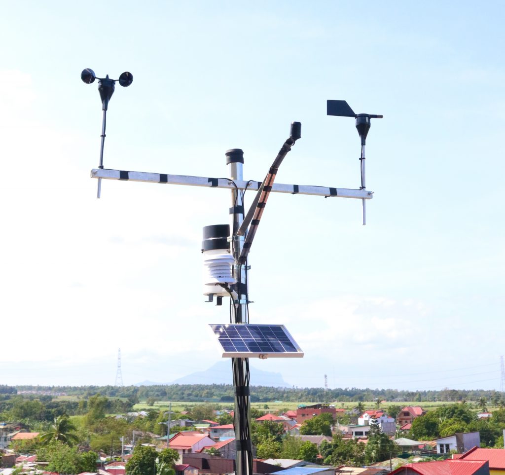
The processed data will then be used to accurately develop hydrologic and coastal models for Manila Bay. Said models should offer an understanding of water movements within the watershed and water bodies, and the amount of materials transported within them. With this knowledge, experts and project implementers could better assess and monitor the state of Manila Bay and project its future conditions.
The team’s first data collection happened last 10 March 2021. Results were shared with key stakeholders from various government agencies, academe, and non-government organizations in a webinar held on 16 April 2021.
The collaborative project serves as an immersive activity that fosters a culture of inquiry, scholarship, innovation, and progress among select members of the FAITH Community and partners. With its mobilizing capacity, the Institution seeks to galvanize multi-stakeholder efforts to streamline science- and technology-guided solutions that would restore and sustain the heritage of Manila Bay.
The IM4ManilaBay Program is primarily spearheaded by the DOST-Philippine Council for Industry, Energy and Emerging Technology Research and Development (DOST-PCIEERD).
(With additional report from Kahrein A. Salvador)


